


Jun 30, 2026 | 05:04
Employees of the Ecological Geography department of Shaki Regional Scientific Center of ANAS carried out large-scale monitoring and measurement work in the Shin River Basin from June 25 to July 1, 2026.
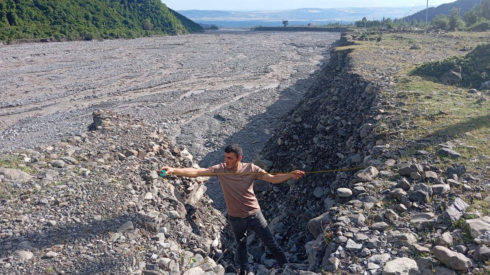
According to the head of the Ecological Geography Department of the Center, PhD in Geography, Qafqaz Agabalayev, the research was conducted by the department's employee Elvin Garayev in the section of the Shin River passing through the villages of Shin and Bash Goynuk. The main purpose of the monitoring was to assess the changes in the water level in the river after heavy rains and the resulting geomorphological processes.
During the observations conducted on June 28-29, erosion processes were monitored in the river bed. It was determined that lateral erosion intensified on the right bank of the river after the flood event. Qafqaz Agabalayev said that the intensification of lateral erosion causes the river bed to expand towards the inner parts of the village area. The results of regular monitoring and measurements show that this process leads to the shrinkage of the settlement area, as well as the gradual washing away of pastures and arable land.
The head of the department noted that monitoring work continued on June 30 and July 1. The studies were conducted in the Haney Gorge, the main floodplain tributary of the Shin River, located approximately 12-13 kilometers as the crow flies from the village of Shin, and in the area of the same name.
During the observations conducted in the Gizkechmez, Garagaya and Haney plateau areas, located at an altitude of 2100-2800 meters above sea level and surrounded by subalpine and alpine meadows, surface and linear erosion processes were systematically recorded and relevant measurements were carried out. As a result of the studies, it was determined that the volume of the deposition cones formed during flood events in the Haney Gorge was larger.
Monitoring work was also continued around the waterfall located close to the plateau areas and known as "Beshmartaba" among the local population. Hydrological measurements were carried out in the area, and water samples were taken for laboratory analysis.
According to the measurements, the height of the waterfall is 31 meters and the width is 1.25 meters. The waterfall is located at the coordinates of 41°26′58″ north latitude and 47°11′30″ east longitude, at an altitude of 2125 meters above sea level.
It should be noted that the purpose of the monitoring work is to study the dynamics of erosion and flood processes occurring in the Shin River basin, to assess their impact on agricultural areas and settlements, and to form a scientifically substantiated database to reduce possible risks in the future.