Apr 09, 2026 | 10:00
On April 8, 2026, employees of the Landscape and Ecological Geography Departments of Shaki Regional Scientific Center of ANAS carried out the next monitoring work in Balaken and Zagatala districts.
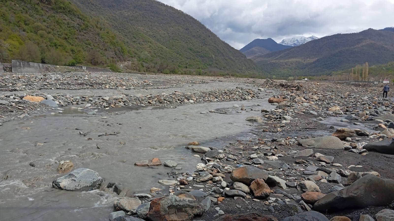
Monitoring was carried out in the villages of Pochtbina and Mahamalar of Balaken district, as well as in the areas of Mazikh and Talachay of Zagatala district. During the study, silt samples were taken from the river beds in the mentioned areas and collected for analysis.
In addition, previously conducted measurements were reviewed on the concrete supports of the bridge located on the Balakenchay River in the Mahamalar village area and connecting the village with surrounding settlements.
Based on the results of repeated observations, it was determined that the indicator of the first support located on the left side of the bridge decreased from 1.80 meters to 1.38 meters. This indicates that a filling process of 0.42 meters has occurred in that section.
The size of the second pier increased from 1.80 meters to 2.07 meters, which indicates that 0.37 meters of erosion has occurred.
The size of the third pier was 1.58 meters, and 0.22 meters of filling was also observed here.
The monitoring is of great importance in terms of monitoring the dynamics of hydromorphological processes in the region and preventing future risks.